

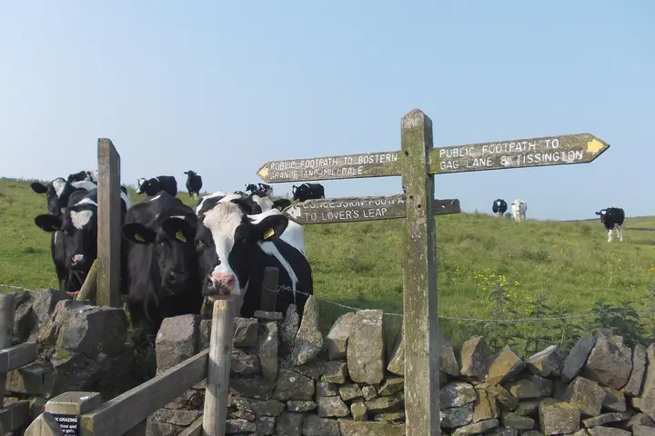
 All three parksCan you walk through a field of cows?
Photo: Neil Theasby, CC BY-SA 2.0, Wikimedia Commons, cropped.
All three parks
Pick the Lakes for high fells and water, the Dales for walled meadows and long quiet valleys, and the Peak if you want to arrive by train from Manchester or Sheffield with the least fuss.
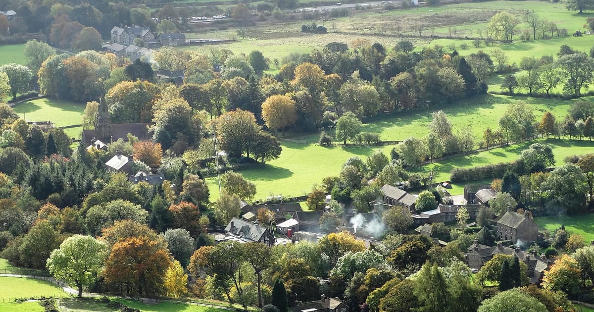
All three are working landscapes where people live, farm and run village shops, so you are choosing a character rather than a level of beauty. The differences that matter for a slow few days are the shape of the land, how you get there and how many other people have had the same idea. Those are the terms we use here. The opinions are ours; the figures come from the park bodies themselves.
| Yorkshire Dales | Peak District | Lake District | |
|---|---|---|---|
| Designated | 1954 | 1951, the first in the UK | 1951 |
| Size | 2,179 sq km (841 sq miles) | More than 550 sq miles | 2,362 sq km (912 sq miles), the largest in England |
| Walking network | Over 2,600 km of rights of way | Over 1,600 miles of rights of way | Over 350 fells; 50 Miles without Stiles routes |
| The headline scenery | Limestone, hay meadows, field barns, waterfalls | White Peak dales and Dark Peak moors and edges | England's highest mountain and deepest lake |
| Rail into the area | Leeds to Settle to Carlisle line | Hope Valley line from Sheffield and Manchester; Buxton just outside | Windermere branch and the Cumbrian Coast line |
The Yorkshire Dales National Park has around 8,000 km of dry stone walls and around 4,500 field barns, and that pattern is what most people remember. It also contains 38% of England's upland hay meadows and 72% of its limestone pavement, so early summer in Swaledale and a walk up to Malham Cove are good reasons to go. The park is home to 22,800 people across a large area, and it has been an International Dark Sky Reserve since 2020, which is a real attraction for an autumn or winter break.
The catch is distance between things. Dales run roughly parallel with moor between them, so moving from one valley to the next is a journey. Stay in one and walk from the door. Malham, Grassington and Hawes all have year-round buses; our guide to the Dales without a car explains which ones and on which days. If you are curious why the fields look as they do, read why the Dales has so many walls before you go.
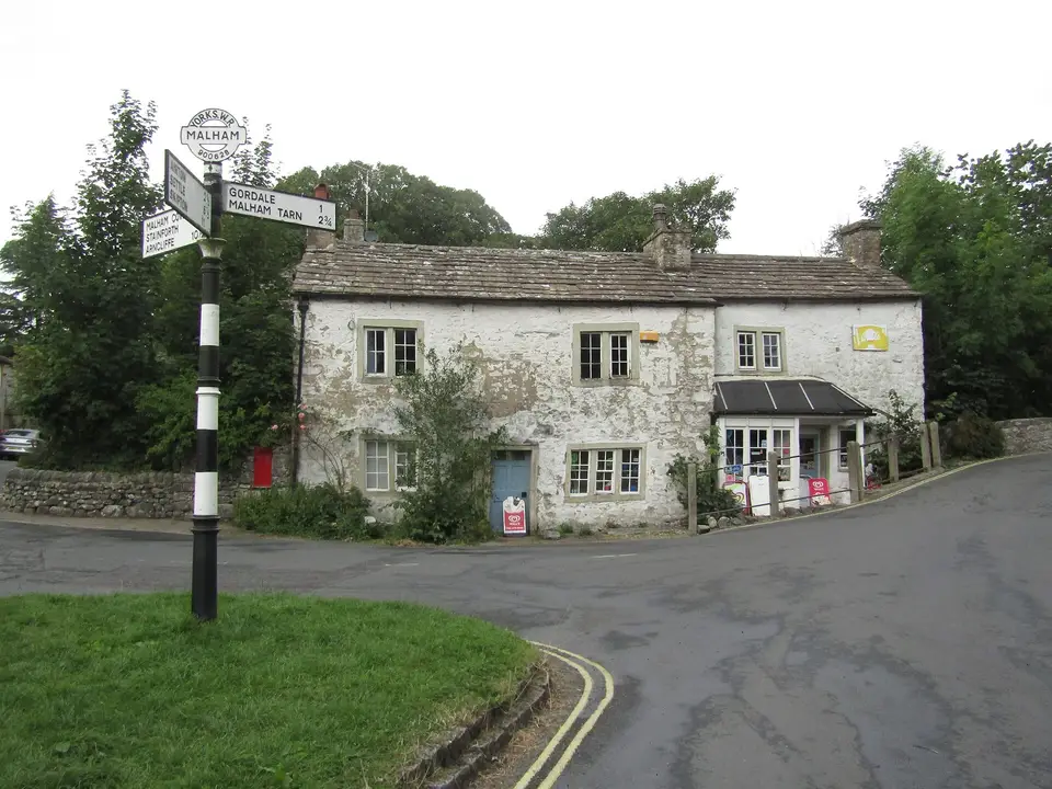
The Peak District sits between large cities. National Parks UK notes that trains from Sheffield and Manchester run into the Hope Valley, which puts Castleton and its caves within easy reach, while the Pennine Way begins in Edale. Over 30 miles of level, surfaced former railway trails, including the Monsal Trail with its tunnels, make it the friendliest of the three for mixed abilities and for anyone on a bike.
It is also the place for well dressing, the petal pictures villages set up at their wells between spring and early autumn. A village that holds a dressing gives you a reason to visit on a specific weekend. The trade-off for such good access is that popular spots feel busy at popular times, so a midweek visit is worth arranging if you can.
Nowhere else in England offers this mix of mountains and lakes in a compact space: Scafell Pike at 978 metres, Wastwater at 74 metres deep and Windermere at 10.5 miles long. The whole park has been a UNESCO World Heritage Site since 2017, recognised as a farmed cultural landscape. If you want to take a boat to the start of a walk, this is the one to choose. Herdwick sheep and hefted flocks are a large part of what you are looking at on the high ground.
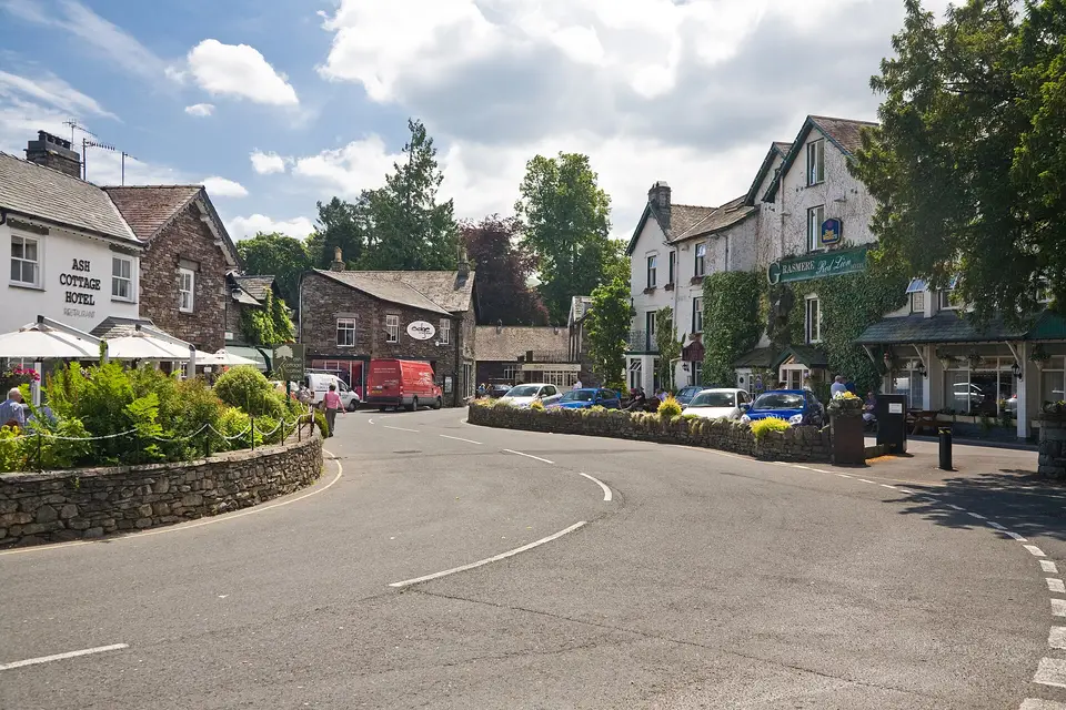
You should plan around two things. Popularity is the first: Cumbria Tourism figures quoted by the park give 17.45 million tourists in 2025, so honeypot villages can be full. Rain is the second. Ambleside gets about 2,100 mm a year and Seathwaite about 3,550 mm, so pack as though it will rain, because it may well do so. For quieter bases the park's own list of walks by public transport is a useful place to begin; it includes Staveley on the 555 bus and the Kendal to Windermere train, Pooley Bridge on the 508 bus from Penrith, and Ravenglass on the coast line.
These questions usually settle it:
Wherever you go, the fields you cross are somebody's workplace. A few minutes with our note on walking through livestock is time well spent, particularly with a dog.
All three parksCan you walk through a field of cows?Photo: Neil Theasby, CC BY-SA 2.0, Wikimedia Commons, cropped.
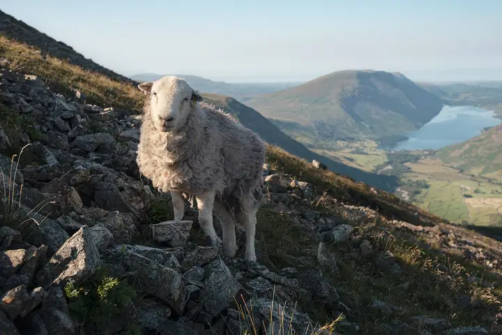 Lake DistrictWhy fell sheep stay put with no fences
Photo: Julian Herzog, CC BY 4.0, Wikimedia Commons, cropped.

